

What If We Can Visualize A Martian History?
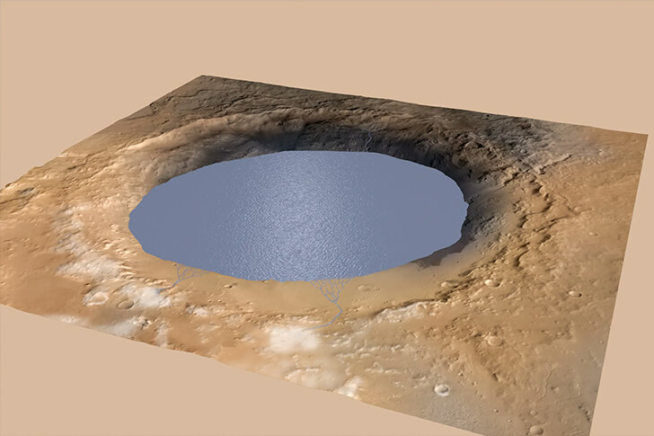
OpenSpace, a data-visualization program developed by NASA, makes it possible for anybody to visit Mars without ever having to leave the Earth’s surface. With it, you can soar above Martian mountain peaks and swoop down the deep canyons of Valles Marineris using NASA’s Mars “Reconnaissance Orbiter’s” highest-resolution images.
Researchers have previously mapped 90% of Mars’ terrain at a resolution of around six meters or 19 feet per pixel utilizing information and photos from MRO’s Context Camera as well as the Mars rovers called Spirit, and Opportunity. Also, scientists captured photographs of Mars with a resolution of roughly ten inches (or 25 centimeters) per pixel using data from the spacecraft’s HiRISE lens.